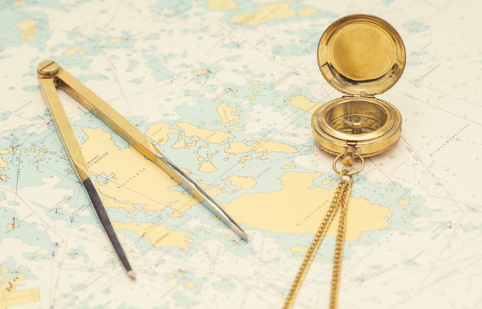
A passage plan is a comprehensive, berth to berth guide, developed and used by a vessel’s bridge team to determine the most favourable route, to identify potential problems or hazards along the route, and to adopt Bridge Management Practices to ensure the vessel’s safe passage.
Passage planning is divided into 4 parts
- Appraisal
- Planning
- Execution
- Monitoring
Appraisal
This is the process of gathering all information relevant to the proposed passage, including ascertaining risks and assessing its critical areas. The appraisal will include details from:
- Chart Catalogue
- Navigational charts
- Ocean Passages for the World
- Routing charts or pilot charts
- Sailing Directions and Pilot Books
- Light Lists
- Tide Tables
- Tidal stream atlases
- Notices to Mariners (Navareas, Hydrolants, Hydropacs)
- Routing information
- Radio signal information (including VTS and pilot service)
- Climatic information
- Load-line chart
- Distance tables
- Electronic navigational systems information
- Radio and local warnings
- Owner’s and other unpublished sources
- Draught of vessel
- Personal experience
- Mariner’s Handbook
Planning
Having made a full appraisal using all information at hand pertaining to the passage, the OOW, under the authority of the Master is to prepare a detailed plan for the passage.
Elements of the Planning phase include:
- No-Go areas
- Margins of safety
- Charted Tracks
- Course alterations and wheel over points
- Parallel Indexing
- Aborts and Contingencies
- Clearing line and bearings
- Leading lines
- Tides and current
- Change in engine status
- Minimum UKC
- Use of Echo Sounder
- Head Mark
- Natural Transit
Execution
In this stage, the navigating officers execute the plan that has been prepared. After departure, the speed is adjusted based on the ETA and the expected weather and oceanographic conditions.
Monitoring
Monitoring is that aspect which takes into account checking of the position of the vessel, such that it remains within the safe distance from any danger areas. Parallel Indexing can be used to maintain safe distance alongside any hazards to navigation. A safe and successful voyage can only be achieved by close and continuous monitoring of the ship’s progress along the pre-planned tracks.