CHAPTER 3 – CHARTS
Advertisements
Charts carry a lot of information for navigational use. They represent a portion of the Earth’s surface with a suitable scale on a flat surface.
MARCATOR CHART
Projection is “Cylindrical Orthomorphic Projection”.
- Projection is cylindrical.
- Meridians are represented by equidistance, parallel straight lines.
- Equator and parallel of latitudes are horizontal parallel straight lines is selected distance from equator and from each. It increases towards the pole due to distortion.
Lat*Scale= Long*Scale*sec (lat)
Meridional parts – The meridional parts of latitude is the number of longitude units from the equator to the latitude along the meridian.
Distance in meridional parts – DMP between two latitudes is the length of the meridian between those latitudes on a Mercator chart expressed in units of longitude scale.
Geographical Mile ( longitude unit )– It is the length of an arc along the equator that subtends an angle of 1’ at the center of circle.
Some important formulas:
D’lat = dis*cos (course)
D’long/DMP = Tan(course)
D’long = DMP.tan(course)
Advantages
- The directions can be measured accurately.
- Easy to plot course on Mercator charts.
- Course lines are straight lines.
- Shapes stay true.
- The plotting lines can be moves anywhere on the chart as parallel lines.
Disadvantages
- Distortion increases as we go towards the poles.
- Land masses cannot be compared.
- Polar regions cannot be represented.
- Great circle courses cannot be laid off easily.
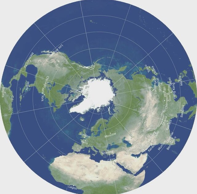
GNOMONIC CHARTS
- There charts are used for great circle sailing, as in these charts the great circles appear to be straight lines.
- The projection is tangential.
- These are small scale charts and therefore are not used for navigation.
- Meridians are straight line converging towards the pole.
- Meridians are not parallel to each other.
- Small circles and Rhumb lines are curved.
- After marking the shortest distance on Gnomonic chart, points are marked on the track at regular intervals of longitude and then transferred to the Mercator chart.
Advantages
- Great circle track appear as straight line.
- Polar regions can also be represented on Gnomonic charts.
Disadvantages
- As we go away from the centre the distortion for shape, size and distance increases.
- Rhumb line courses cannot be plotted as they appear to be curved lines.
- Plotting lines cannot be transferred from one portion of the chart to another.
Difference between Mercator and Gnomonic charts
| MERCATOR | GNOMONIC |
| Orthomorphism (Shape retention). | The shape is not retained. |
| Rhumb lines are straight. | Rhumb lines are not straight. |
| Great circles are curved. | Great circles are straight. |
| The projection is cylindrical. | The projection is Zenithal. |
| There is no tangent point. | There is a tangent point. |
| Meridians are parallel. | Meridians are not parallel. |
WHAT IS NATURAL SCALE?
Natural scale is the ratio of the length of 1’ of latitude on the chart to the length of 1 nautical mile on the surface of the Earth.
Length of 1’ of latitude (l) on the chart = length of 1’ of long (L). sec (L)
Length of 1 nautical mile on the Earth = 1852.3 – 9.4 cos2L (in min)
Article by Ritika Singh(Tolani Maritime(2020-2022),Sailing as Deck Cadet now as in 2022). Verified by Swapnil Singh.